The Eastwood County Road is a 55 year old unbuilt road proposal, stretching from Kissing Point Road at Dundas to Epping Road at North Ryde , via Eastwood. The reservation, wide enough to permit construction of a six-lane highway-standard road, was gazetted in July 1951 as part of the County of Cumberland Planning Scheme and is known as either “County Road No. 5012” or “Eastwood County Road”.
The reservation begins at the intersection of Kissing Point Road and Stewart Street in Dundas, where a block of vacant land on the north side of the intersection was reserved for future construction of a grade-separated interchange. Travelling east along Stewart Street there is a water reservoir before another block of vacant land, Lachlan Macquarie Park, is located on the north side of the road. Stewart Street has been constructed to four lane standard with a wide median – but probably not wide enough to provide four six traffic lanes and turning bays.
The reservation continues east across Marsden Road along Rutledge Street, where land will probably need to be resumed from the Brush Farm Bowling Club to avoid affecting the historic building on the southeast corner of the Marsden Rd/Stewart St/Rutledge St intersection. From here the road reserve continues east across a steep gully located between Brush Farm Park and Lambert Park, rejoining the trafficable sections of Rutledge Street at Brush Road. Thence, along Rutledge Street, Ryde Council has imposed building restrictions on properties abutting the northern side of the road to enable land to be left vacant for future construction of the County Road. A strip of land four metres deep in the grounds of Eastwood Primary School was gazetted as part of the reservation.
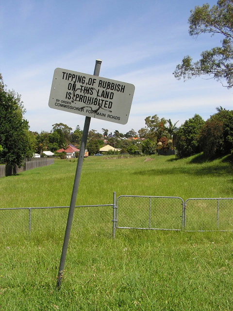
Old Department of Main Roads sign on the Eastwood County Road reservation, looking west from Grove St, Eastwood. Nov 2005.
The railway overpass connecting Rutledge Street with First Avenue has already been constructed to its ultimate width but east of the railway line the road narrows to four lanes again and a strip of vacant land exists on the north side of First Avenue. At Blaxland Road the reservation continues directly east into Welby Street, swallowing Edgar Street in the process. From Welby Street a vacant strip of land is preserved as far as Woorang Street, which forms part of the reservation. Thence from Abuklea Road the reservation passes behind Ray Place, crossing Herring Road diagonally on the north side of Agincourt Road, through the northwest corner of Kent Road Primary School and skirting the western and northern edges of ELS Hall Park before crossing Shrimptons Creek at the end of Booth Street.
The reservation then joins Epping Road at its intersection with Whiteside Street. Land was formerly reserved for a grade-separated interchange on the north side of Epping Road but was sold off and developed in 2001.
Full info can be found here: http://www.ozroads.com.au/NSW/Special/Unbuilt/Eastwood/eastwoodcountyroad.htm
And ?
ReplyDelete